21 October 2024
06:45; 28°52.608′ N, 82°58.563′ E; 2,986 m
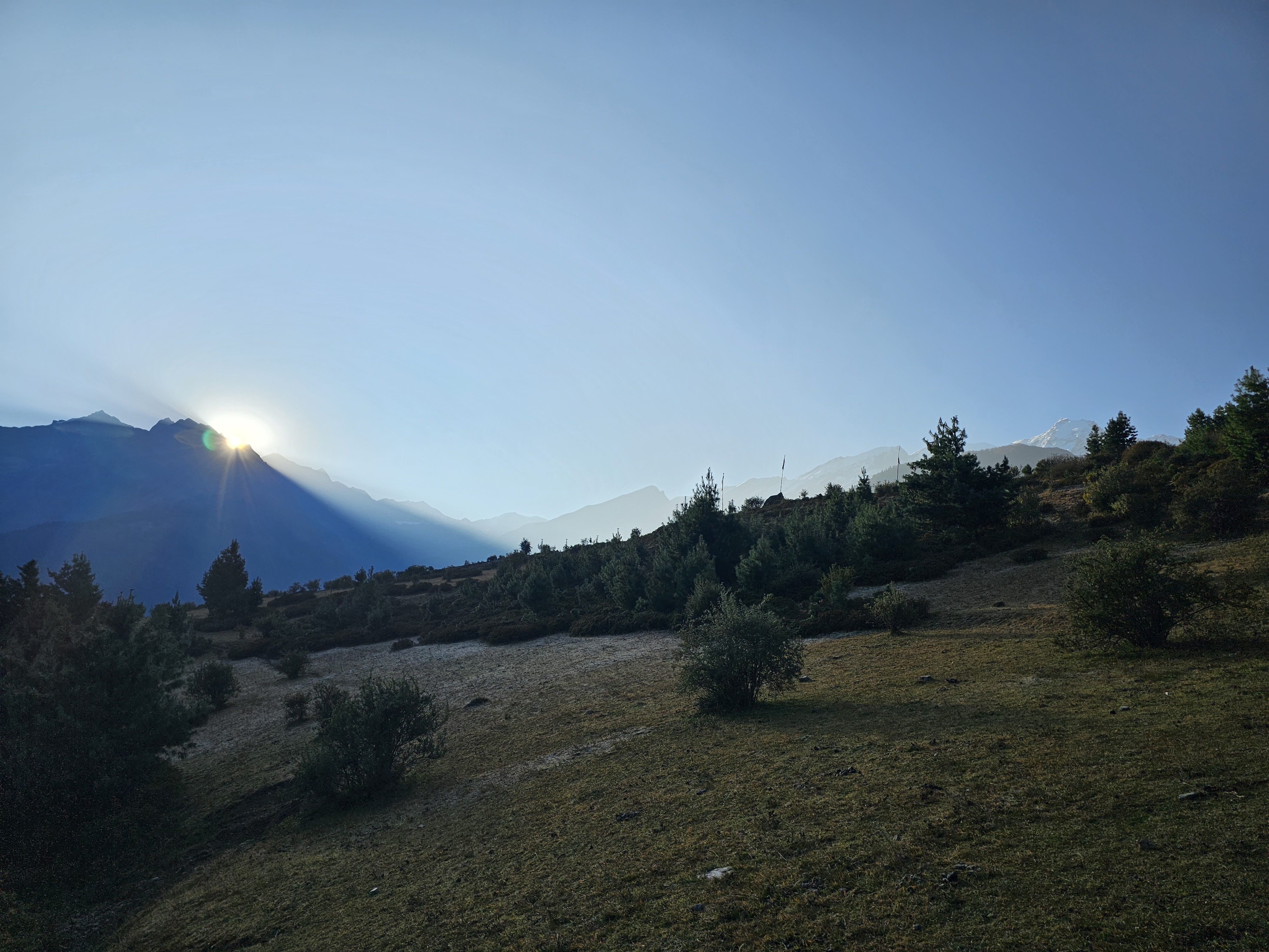
We awake in the dark. 5 am alarm. Whilst our packing routine is now much slicker, the 1-hour habit has stuck. I go onto the roof to brush my teeth and watch the dawn, like a child playing with the contrast and saturation sliders on their phone.
In the star and moonlight the mountains are all silver and grey and black. Snow shines brightly, and stars twinkle. Then the first glow of the sun appears, and all the detail disappears. Now the ridge line is a stark silhouette as the brightness increases behind them. The stars retreat across the sky and daylight presses forward.
Soon the saturation increases as well. Yellows and pinks and reds fill in the detail of the mountains once again, watercolour tones but crisp and well defined in the clear morning air, high above the woodsmoke that fills the valley.
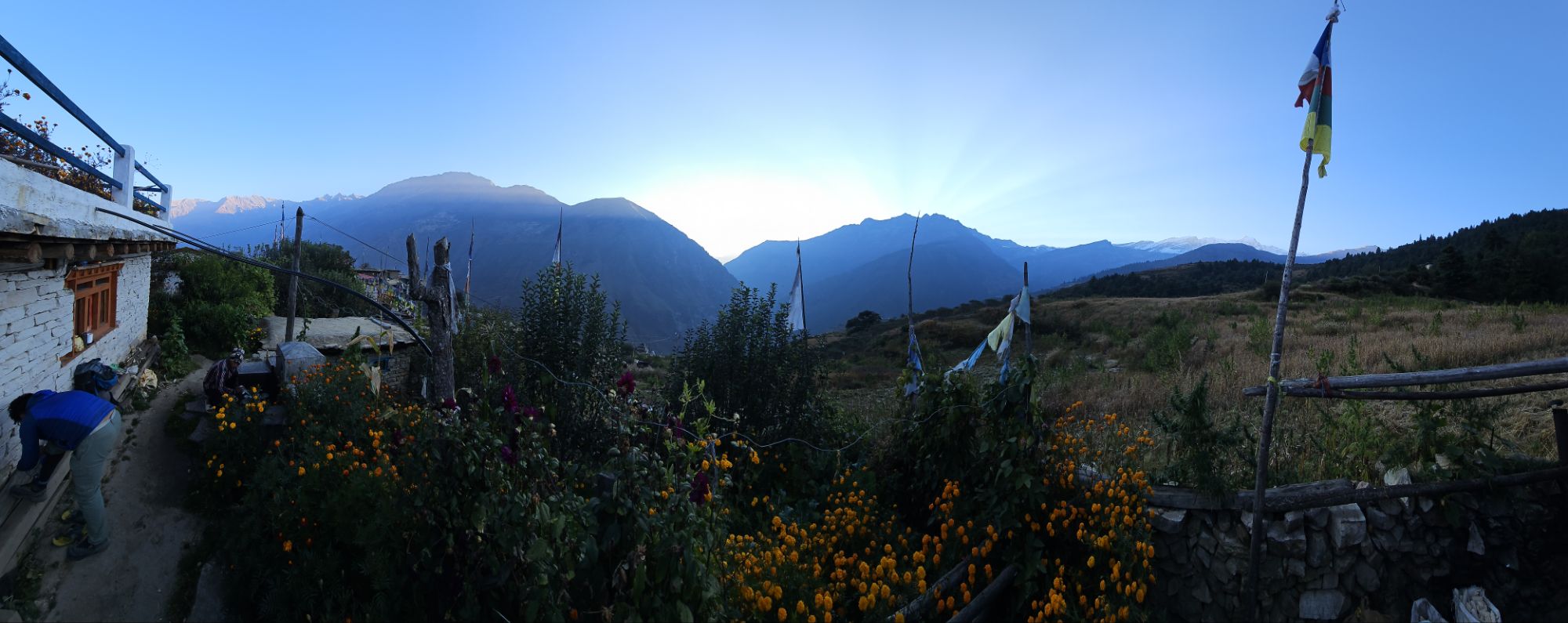
I am glad of the clear skies, today we climb Jangla pass and snow could mean heavy delays if the pack horse cannot accompany us. Coffee and Roti await inside.
After breakfast, as we make ready to depart the first bright touches of sunlight appear on the peaks above our pass.
09:15; 28°51.333′ N, 82°57.713′ E; 3,728 m
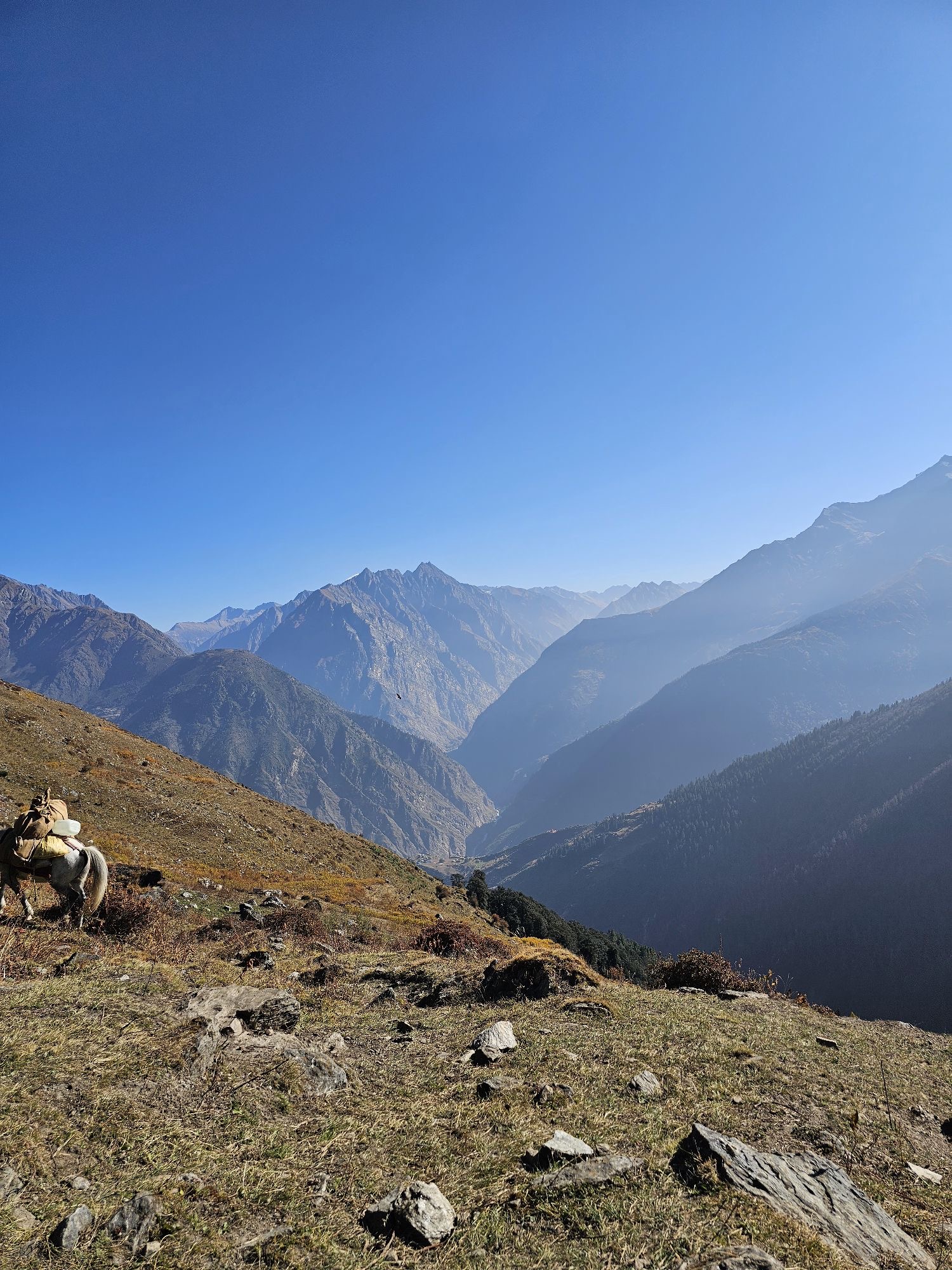
Our trail rises on the sunny crest of the valley, just below the ridge. This placed us directly below the morning thermals, and for perhaps an hour before 9am we were treated to the most magnificent aerial display. In the middle distance a large flock of crows were soaring and diving as if coordinated by a single mind. And immediately overhead, a roosting group of perhaps a dozen Himalayan Griffin wheeled effortless circles, close enough at times to make out wind ruffled feathers, beaks and eyes. When they banked to just the right angle, I imagined I could see the outline of curled talons.
11:50; 28°50.148′ N, 82°56.018′ E; 4,317 m
A small ridge reveals a breathtaking long view of the Dolpo range. The start of our trek, our first high passes and gone to almost all of the world's remaining Snow Leopards. We sit in awe, munching apples grown on the slopes below.
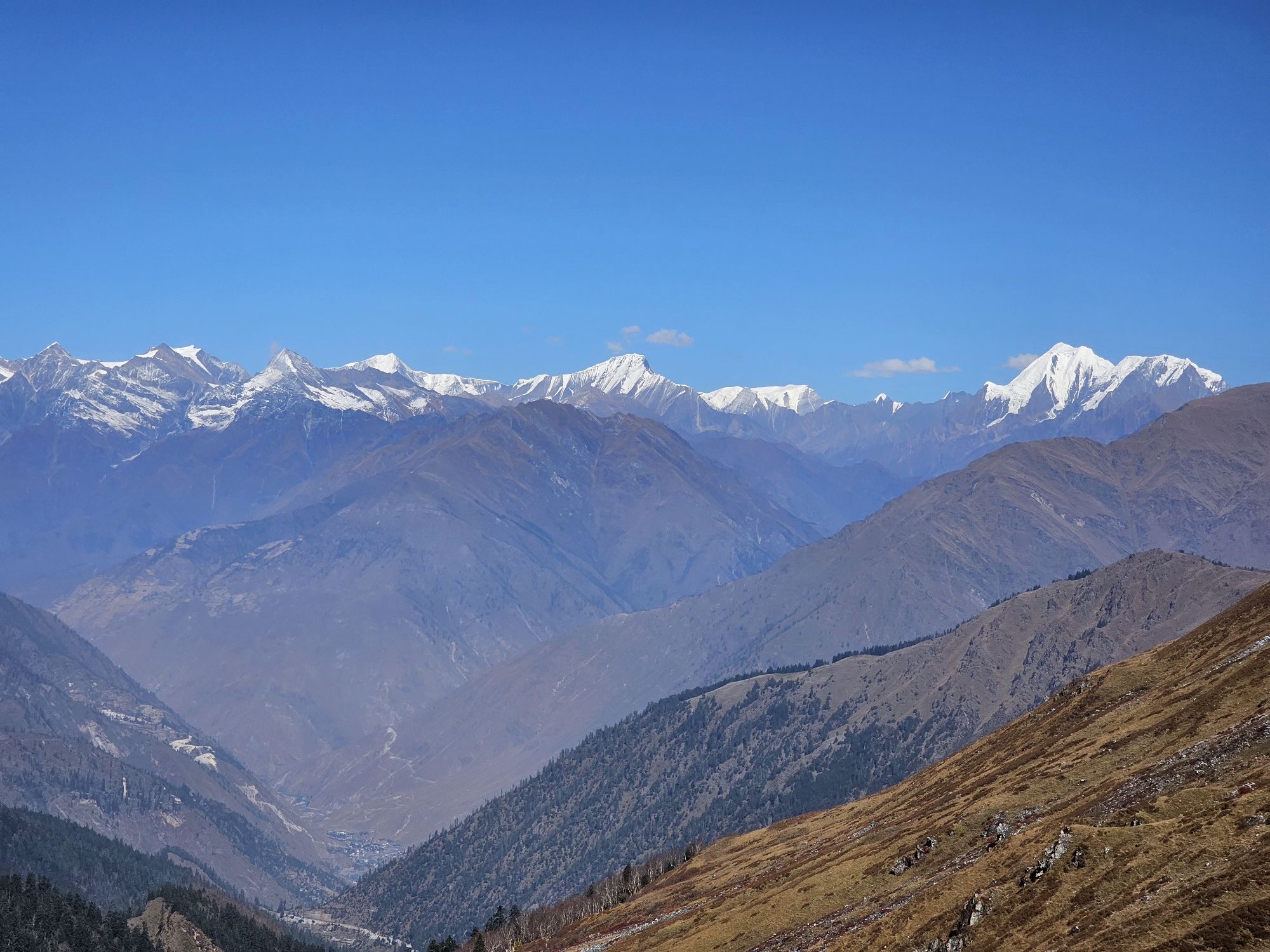
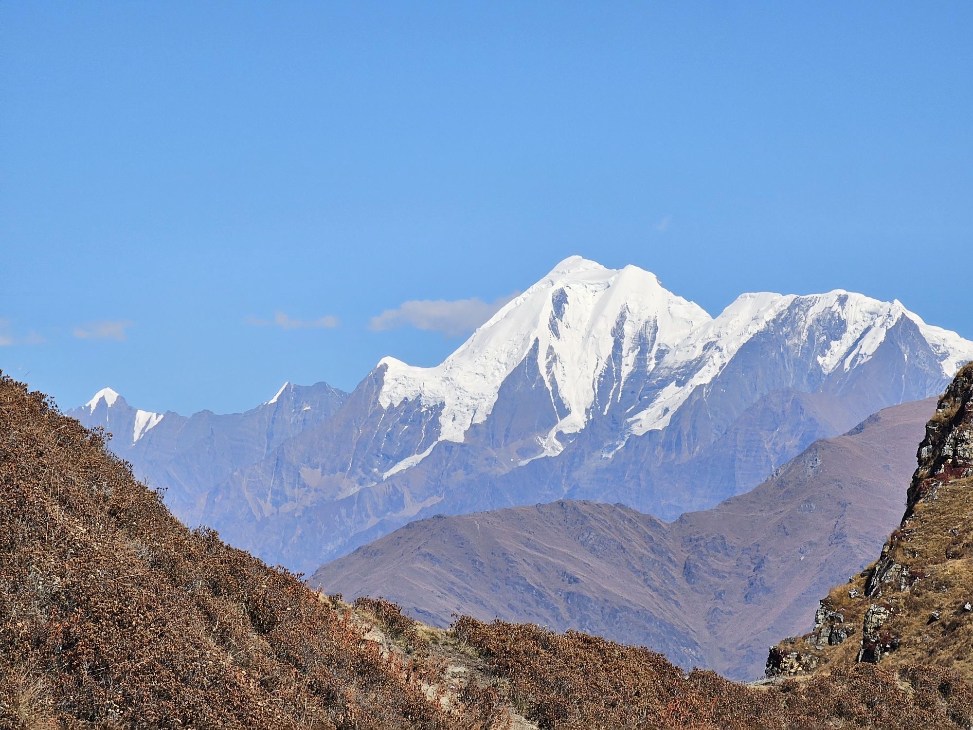
As we climb higher the western range disappears behind another ridge, but the mighty Dhaulagiri (the 7th highest place on earth at 8,167m) stands proudly at the eastern end of the range. We have climbed 1,400 m over the ups and downs to reach this final rest before the summit push. Sam's superhuman fitness is evident - easily outstripping my best effort even at this modest altitude. She nips at the heels of our guide, urging him faster with every eager step.
12:59; 28°49.132′ N, 82°56.001′ E; 4,292 m
The last 100m of any climb are usually the steepest, and today they fall right at the top of my ability to sustain intense exertion at altitude. For now I am content at a "Zone 3" cardio load, my pace still slower than Sam's but I'm feeling a nice workout. At 4,500 my heart rate will cap out at 135, sustained effort at 130 (190 / 185 at sea level).
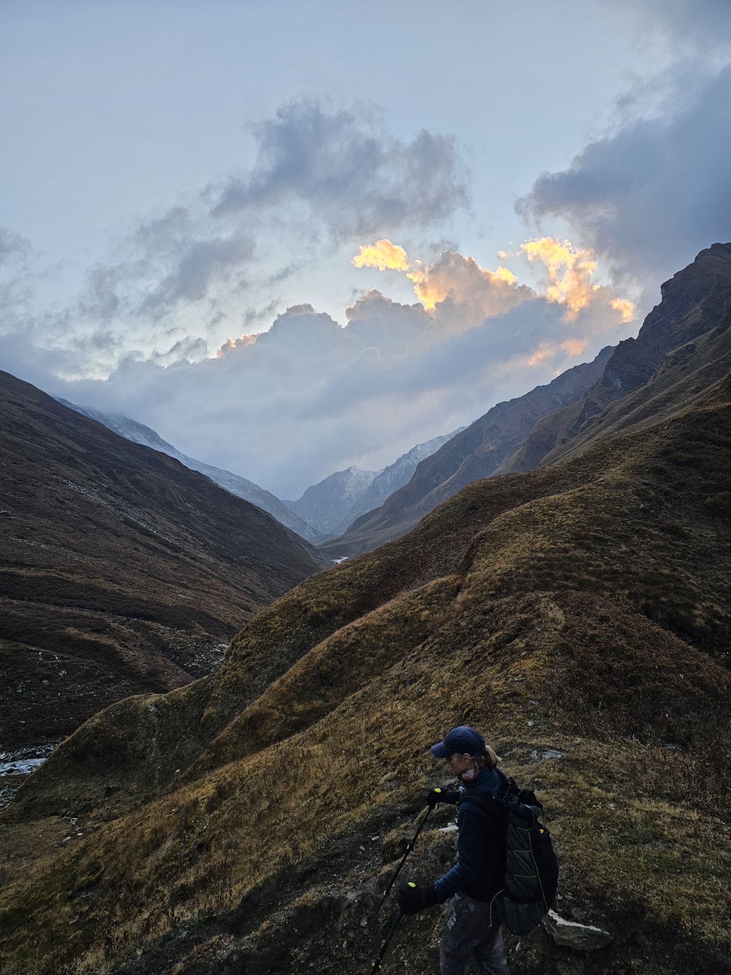
An icy wind blows over the summit, and I push as fast as I can. Sam will be at the pass, waiting and freezing. It turns out she is also looking down at an ominous weather system driving on the cold wind.
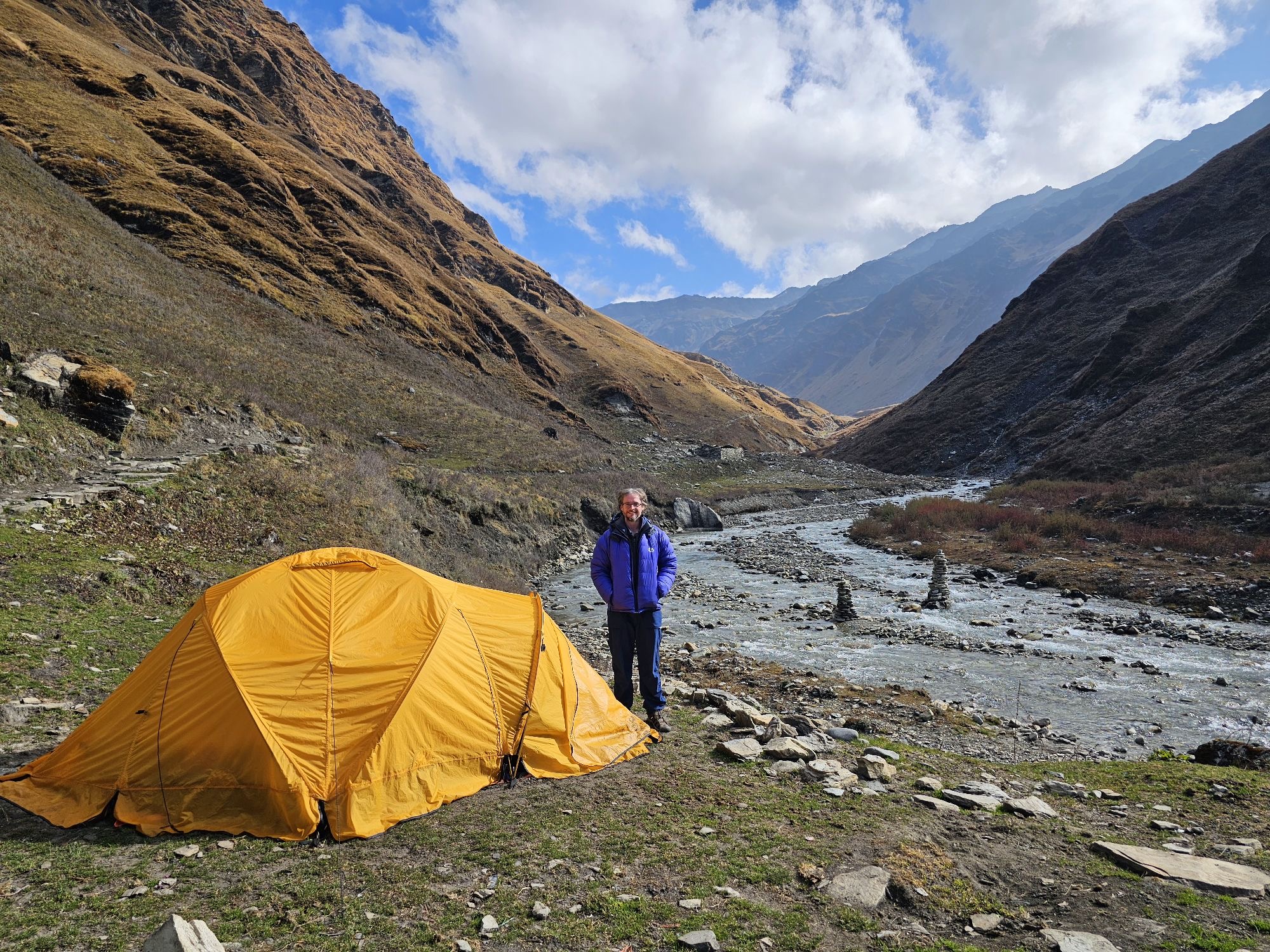
After the pass we descend at a gentle trot to find shelter from the wind. Norbu and Khali prepare a hasty lunch to rest the horse. We contemplate the sky - clouds drifting through the valley threaten snow, and there are trails ahead that will be difficult if not impossible for the horse if we don't reach them whilst they are dry.
We will likely skip our planned high camp, extending to day to include what has been planned for tomorrow. A long day, but with shelter and fire at the end.
14:27; 28°48.353′ N, 82°56.667′ E; 4,309 m
Arriving at Purbang, our intended high camp, the gathering clouds had darkened and there was noticeable moisture in the air. The prospect of a snow-covered tent did not appeal to any of us, and we agreed to press on, adding about another 500 m of climbing to the day.
We hear the first peals of thunder as we cross the valley stream, and as the snow begins to fall they were joined by dim flashes in the dark clouds above. On we climb, into those clouds.
15:28; 28°46.808′ N, 82°57.026′ E: 4,361 m
The snow, thunder, lightening flashes and cold last the duration of the climb. Whilst the trail is not overly steep, the proximity of lightning in the mountains has always been a fear of mine, and here we were at high altitude and in no-fly conditions.
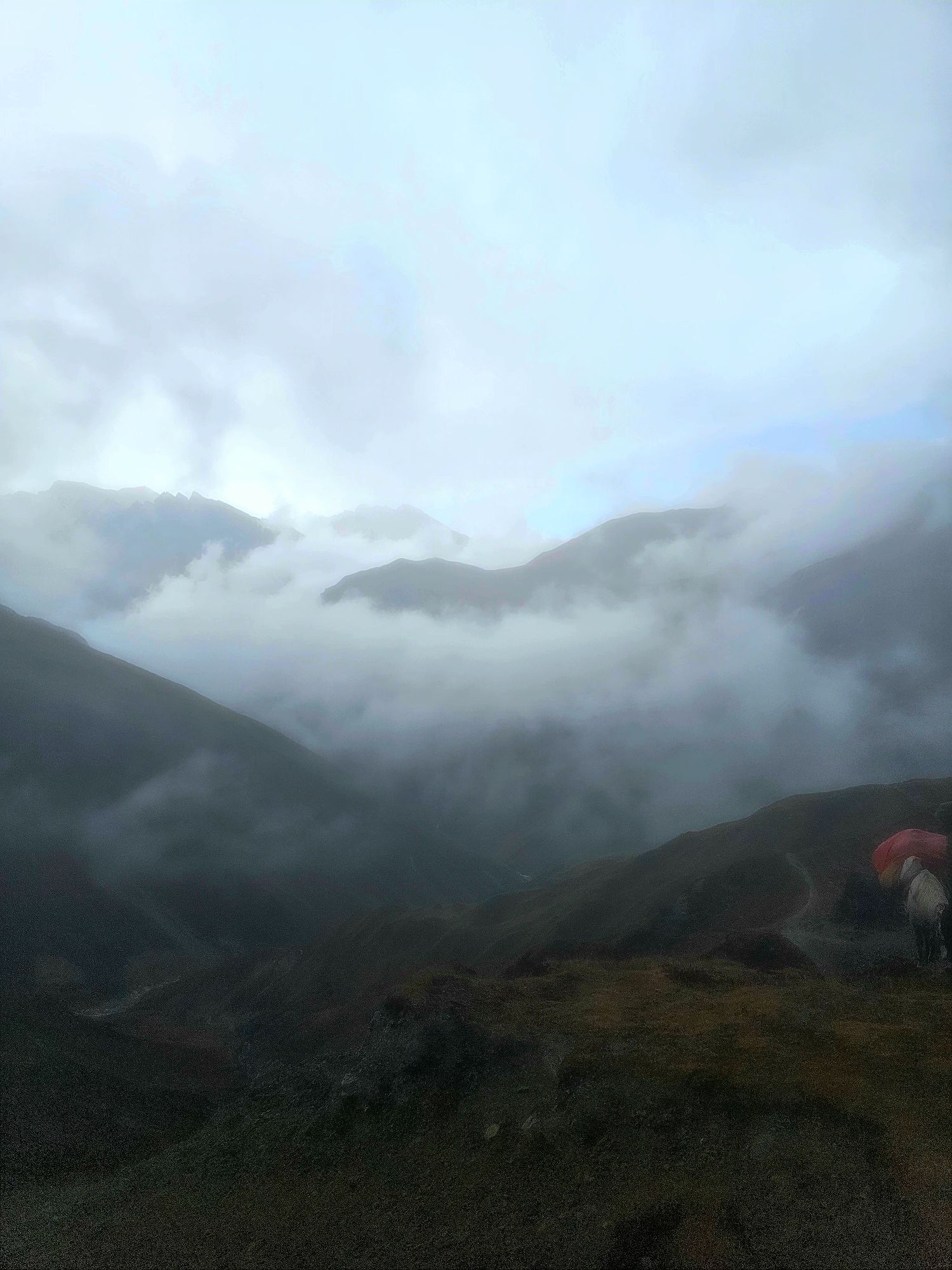
But as we top out back at around 4,500 m, the skies above brighten, and we find ourselves in the land of the Gods, walking between layers of cloud with mountain tops looming like islands out of the lower level cloud below us. The weather continues to clear as we pick our way down the steep descent, and the setting sun burns the remaining clouds pink and orange as we reach the next valley floor. We are all grateful to join a large group of Nepali travellers by the tea house fire.